|
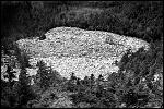
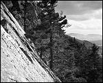
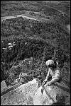
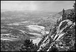
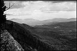
| I think it was a weekend in the spring of 1973 or 1974, I was home from college and my friend Gary was visiting. As usual, things in Hoosick Falls were kind of boring so we drove over to Vermont. Looking out the window, we saw this mountain near Wallingford that looked like the side had been ripped off... a huge white cliff with a steep talus slope at the base. I'm not sure what it was called at the time, but an internet search reveals that it's now known as the White Rocks National Recreation Area, and the talus slope at the bottom is called the Ice Beds. As we slowed down and drove closer, the size became more and more imposing... what looked like a gravel slope was actually a conglomeration of gigantic boulders. It looked like the boulder field went up at an angle to a height of many hundreds of feet, and the white cliffs above were hundreds more (according to topgraphic maps I looked at recently, it looks like the total height of the ice beds and cliff is just under 1300 feet). We found a place to park and hiked a trail to the base of the ice beds where we started to climb... |
|
|
| |||
|
|
| |||
|
|
|
Main Photo Page | Main Page | Made with JAlbum & Chameleon | Help


